


On Oct. 15 NASA’s Operation IceBridge resumed Antarctic survey flights after a down day on Sunday. Over the next two days, IceBridge scientists carried out two more high priority land-ice flights, one over the Foundation Ice Stream and one over Thwaites Glacier. As earlier, plans to survey sea ice were put on temporary hold due to unfavorable weather conditions in the region.
Originally planned for Oct. 15 was a high-priority sea ice mission in the Weddell Sea that IceBridge researchers considered the most important of the campaign. On the evening of Oct. 14 weather forecasts were predicting excellent conditions for most of the Weddell Sea area and the timing was right to coordinate the flight with an overhead pass by CryoSat-2, the European Space Agency’s ice monitoring satellite. “It is fairly rare that all these conditions are met on a single day,” said IceBridge project scientist Michael Studinger.
The weather briefing at the Punta Arenas airport meteorology office the following morning showed a different picture though. With two conflicting forecasts and a lack of recent satellite imagery of the area, IceBridge researchers changed mission plans to a new high-priority land ice mission along the Foundation Ice Stream. “We decided the risk of losing data was too high,” Studinger said.
With near perfect weather over the Ronne Ice Shelf, the IceBridge DC-8 was able to gather data on suspected subglacial lakes in the Foundation Ice Stream. The DC-8 surveyed 13 such areas, but it will take further processing of data gathered by MCoRDS, the DC-8’s radar depth sounder, to get a clear picture. In addition to these measurements, IceBridge scientists gathered altimetry data and digital images of portions of the Support Force Glacier and much of the Antarctic Peninsula thanks to cloud free conditions, and collected gravimeter readings over the Ronne Ice Shelf that can be used to improve knowledge about the depth and shape of the water cavity under the ice there.
While returning to Punta Arenas, IceBridge mission planners decided on a high-altitude survey of the Pine Island, Thwaites, Smith and Kohler glaciers based on forecast maps they received. The following morning though, conditions had changed, bringing high clouds that would obscure the view of the surface. As an alternative, IceBridge decided to do a low-altitude survey concentrating on Thwaites Glacier.
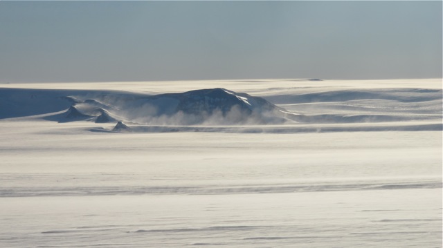
The Oct. 16 flight over Thwaites Glacier builds on previous IceBridge and UTIG surveys of the area and improves the quality of data used as an input for ice sheet models. IceBridge scientists, instrument team members and flight crew members are taking Oct. 17 as a day for aircraft and instrument maintenance and rest. Science flights are scheduled to resume on Oct. 18.