


With the end of the 2012 Antarctic campaign on the horizon, IceBridge flew land ice surveys on Oct. 28 and Nov. 1 that will further expand our knowledge of the area. In addition, the Nov. 1 flight featured a live Twitter event and saw visitors from the U.S. Embassy in Santiago, two Punta Arenas-area schools, a Chilean newspaper and the United States Antarctic Program’s icebreaking research vessel the Nathaniel B. Palmer.
On Oct. 28, a persistent low-pressure system in the Weddell Sea forced IceBridge to forego its planned sea ice mission to survey the Antarctica’s Foundation and Support Force Ice Streams. The newly designed mission consisted of six grid lines spaced 12 miles apart over the Foundation Ice Stream to measure surface elevation and examine sub-ice bedrock and water depth.
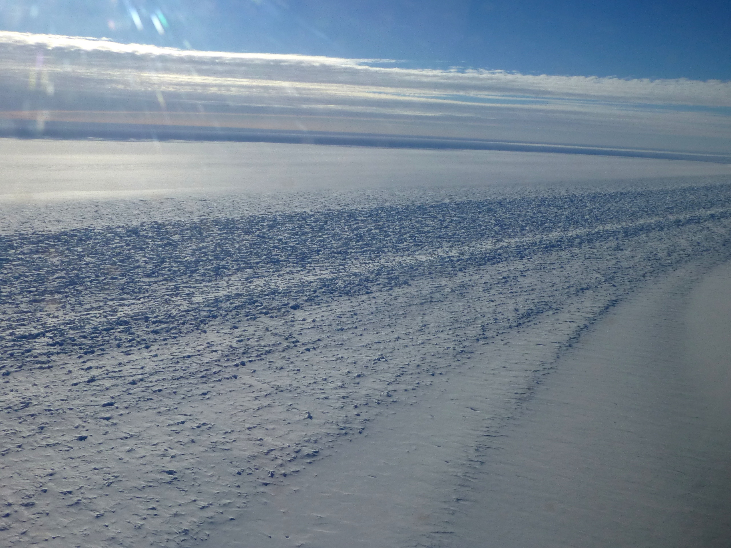
The near-pristine weather during the transit from Punta Arenas meant that the Airborne Topographic Mapper (ATM) and Digital Mapping System (DMS) teams gathered an additional three hours of high-altitude data. It also meant another day of beautiful views of the Antarctic Peninsula for everyone on the NASA DC-8. “This day could not have gone better,” said IceBridge project scientist Michael Studinger.
With a limited number of high-priority surveys left, IceBridge mission planners held off on flight operations for a few days in the hopes that conditions in the remaining target areas would improve. After a few days on the ground, where IceBridge researchers worked on processing the vast sums of data collected so far and the crew taking care of scheduled maintenance on the aircraft, IceBridge returned to the skies on Nov. 1 with a survey of the grounding line on the east side of the Ronne Ice Shelf.
This mission marks the eighth dedicated grounding line survey over the past four years. IceBridge has now surveyed about 5,000 miles of grounding line— the point where ice transitions from being supported by land to floating on water—from the Getz Ice Shelf, along the Antarctic Peninsula and into the Ronne Ice Shelf, something Studinger called a remarkable accomplishment. The end of the survey line for this mission flew over a seismic survey site. Data on what’s beneath the ice gathered by previous seismic surveys there will be compared to information gathered by the DC-8’s gravimeter. In addition to the planned low-altitude survey lines, IceBridge researchers collected high-altitude ATM, DMS and gravity data over sea ice during the transits.
This mission also featured a live Twitter question and answer session via the DC-8’s satellite communication system and saw an array of guests. Dinah Arnett and Hector Rojo from the public affairs section of the U.S. Embassy in Santiago participated in this flight along with Chilean journalist Paula Lopez of La Prensa Austral, and Punta Arenas-area science teachers Mario Esquivel and Carmen Gallardo. This experience was a way to give the teachers a behind-the-scenes look at IceBridge and give them a unique insight into polar science that they plan to use to engage their students in the classroom. “It was an outstanding experience,” said Arnett.
For more about IceBridge’s guest teachers, visit:
http://blogs.nasa.gov/cm/blog/icebridge/posts/post_1352126415025.html