Archive for the ‘Antarctic 2012’ Category

IceBridge 2012 Antarctic Campaign Retrospective

Monday, November 26th, 2012

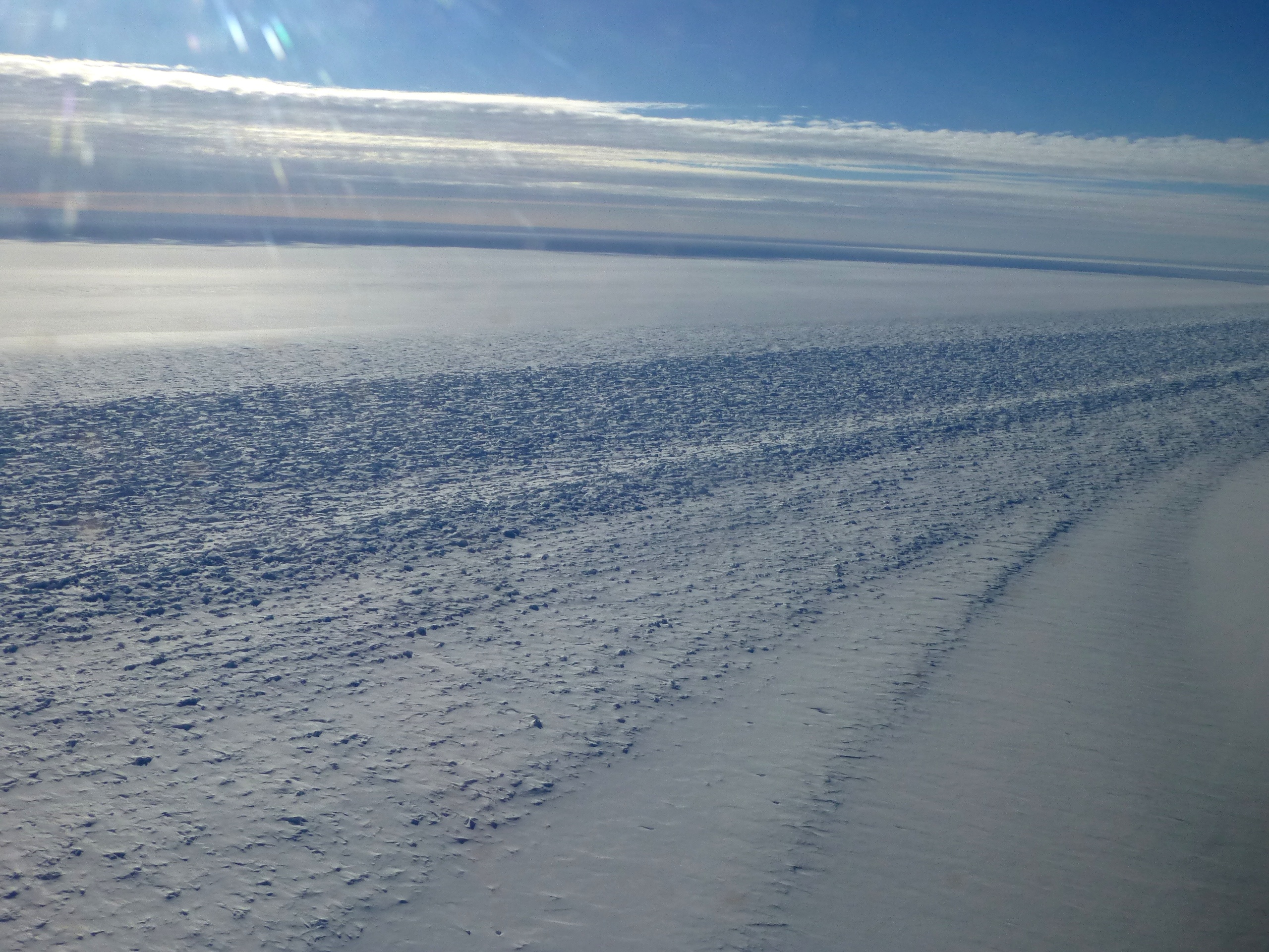
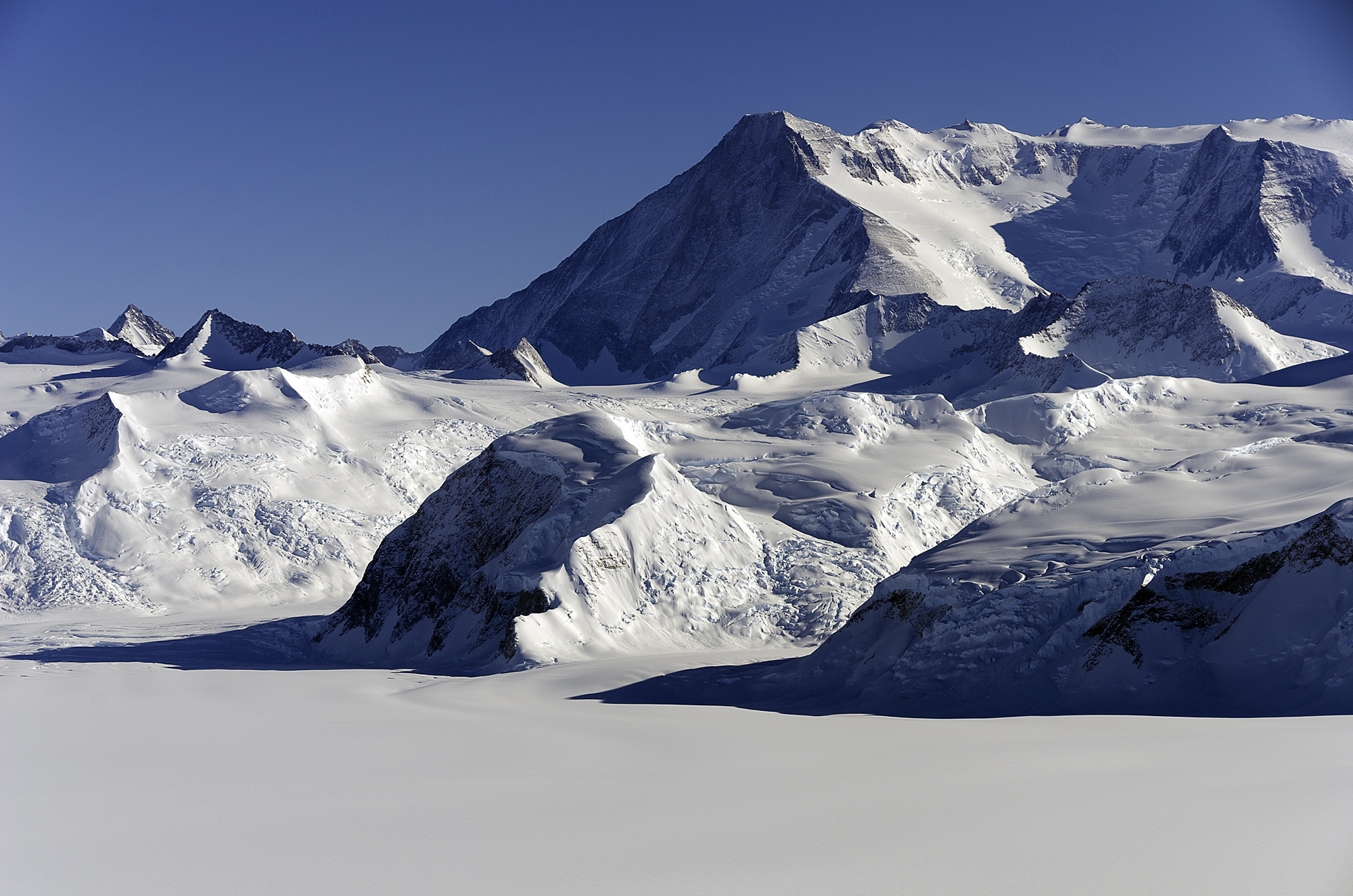
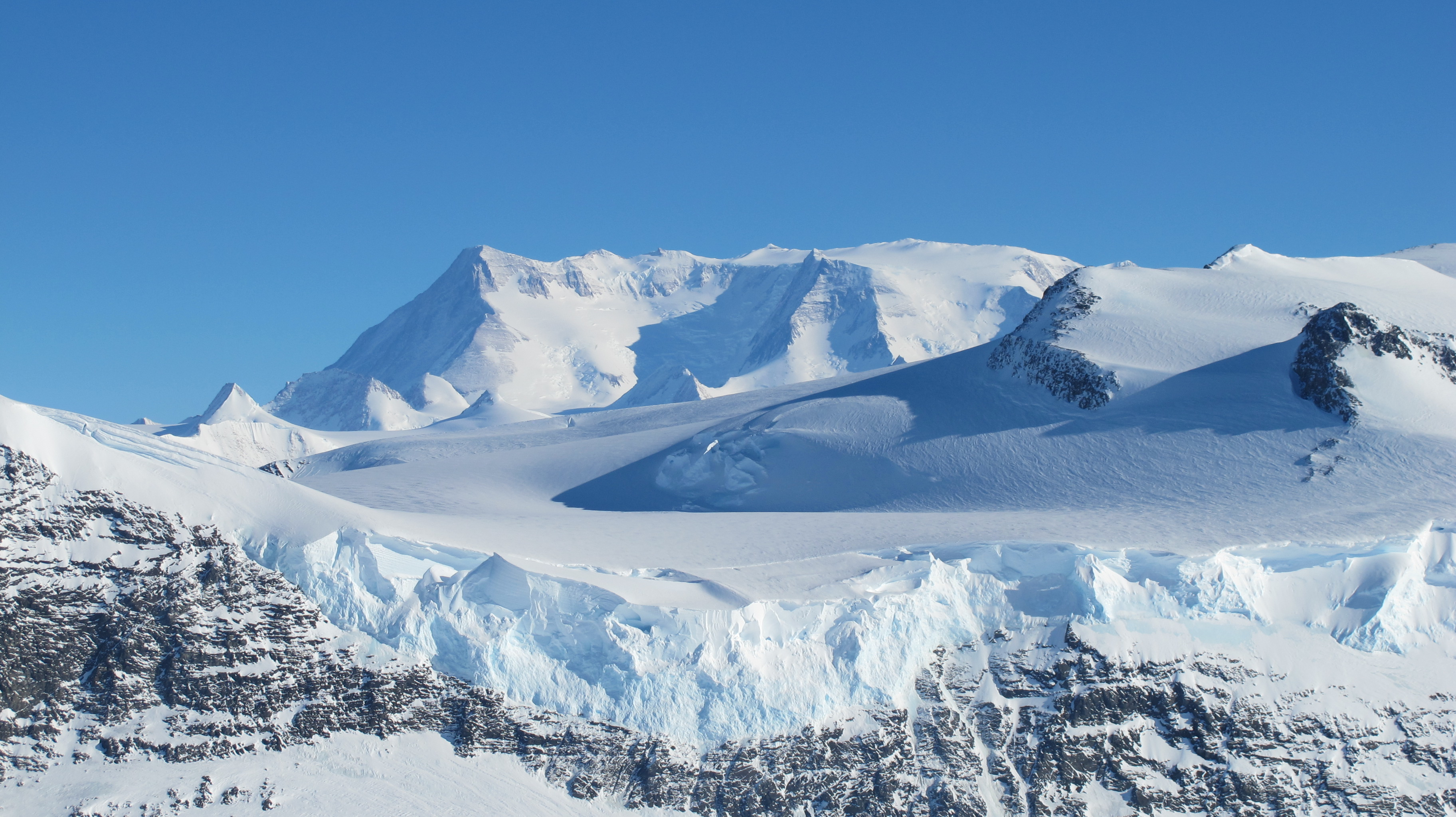
Ice on the Ellsworth Range in Antarctica as seen from the IceBridge DC-8 on Oct. 22, 2012. Credit: NASA / James Yungel

Researchers with NASA’s Operation IceBridge recently completed a five-week field campaign based out of Punta Arenas, Chile. From Oct. 12 to Nov. 8, IceBridge researchers gathered valuable information on land and sea ice during its 16 science missions over Antarctica. During this year’s Antarctic campaign—the fourth in the mission’s history—IceBridge scientists added on to existing sea ice elevation data, surveyed new areas of the Antarctic ice sheet and reached out to students, teachers and the public.

Read more at NASA.gov

Anatomy of an IceBridge Mission

Wednesday, November 21st, 2012

An 11-hour Operation IceBridge mission over Antarctica is not a casual undertaking. The mission planning starts months before as scientists weigh competing scientific objectives in order to design flights with the highest science value possible. And before making the actual journey, the IceBridge team has to carefully evaluate up-to-the-minute weather models to ensure success.

Read more at NASA.gov

Four More Flights Bring Strong Close to Antarctic Campaign

Thursday, November 8th, 2012

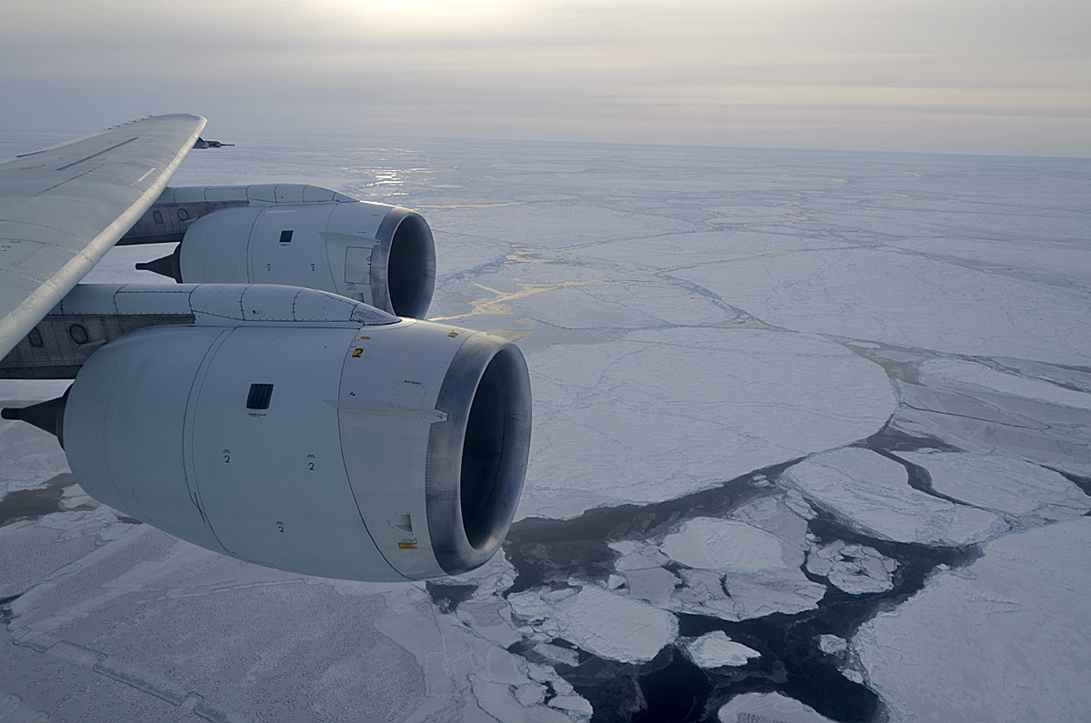
Sea ice conditions during the time of the CryoSat-2 underpass over the Weddell Sea on Nov. 7, 2012. Credit: NASA/Michael Studinger
NASA’s Operation IceBridge closed out its 2012 Antarctic season with two surveys of Antarctic glaciers and two long-awaited flights over sea ice in the Weddell Sea. These four flights bring the airborne science campaign to a successful end with a total of 16 science missions and a total mileage equivalent to more than three times around the Earth’s equator. In addition, researchers on the DC-8 answered questions from students in several U.S. states and Chile by text chat through the aircraft’s communication system.

(more…)

Ice Stream Surveys and a Behind the Scenes Look

Tuesday, November 6th, 2012

View of a glacier shear margin seen from the NASA DC-8 on the Nov. 1 survey of the Ronne Ice Shelf grounding line. A shear margin is the point where fast-flowing glacier ice meets slow-moving ice or rock (in this case, ice attached to the Dufek Massif in Antarctica’s Pensacola Mountains). Credit: NASA / Maria-Jose Viñas

With the end of the 2012 Antarctic campaign on the horizon, IceBridge flew land ice surveys on Oct. 28 and Nov. 1 that will further expand our knowledge of the area. In addition, the Nov. 1 flight featured a live Twitter event and saw visitors from the U.S. Embassy in Santiago, two Punta Arenas-area schools, a Chilean newspaper and the United States Antarctic Program’s icebreaking research vessel the Nathaniel B. Palmer.

(more…)

Two More Flights and Distinguished Guests

Tuesday, October 30th, 2012

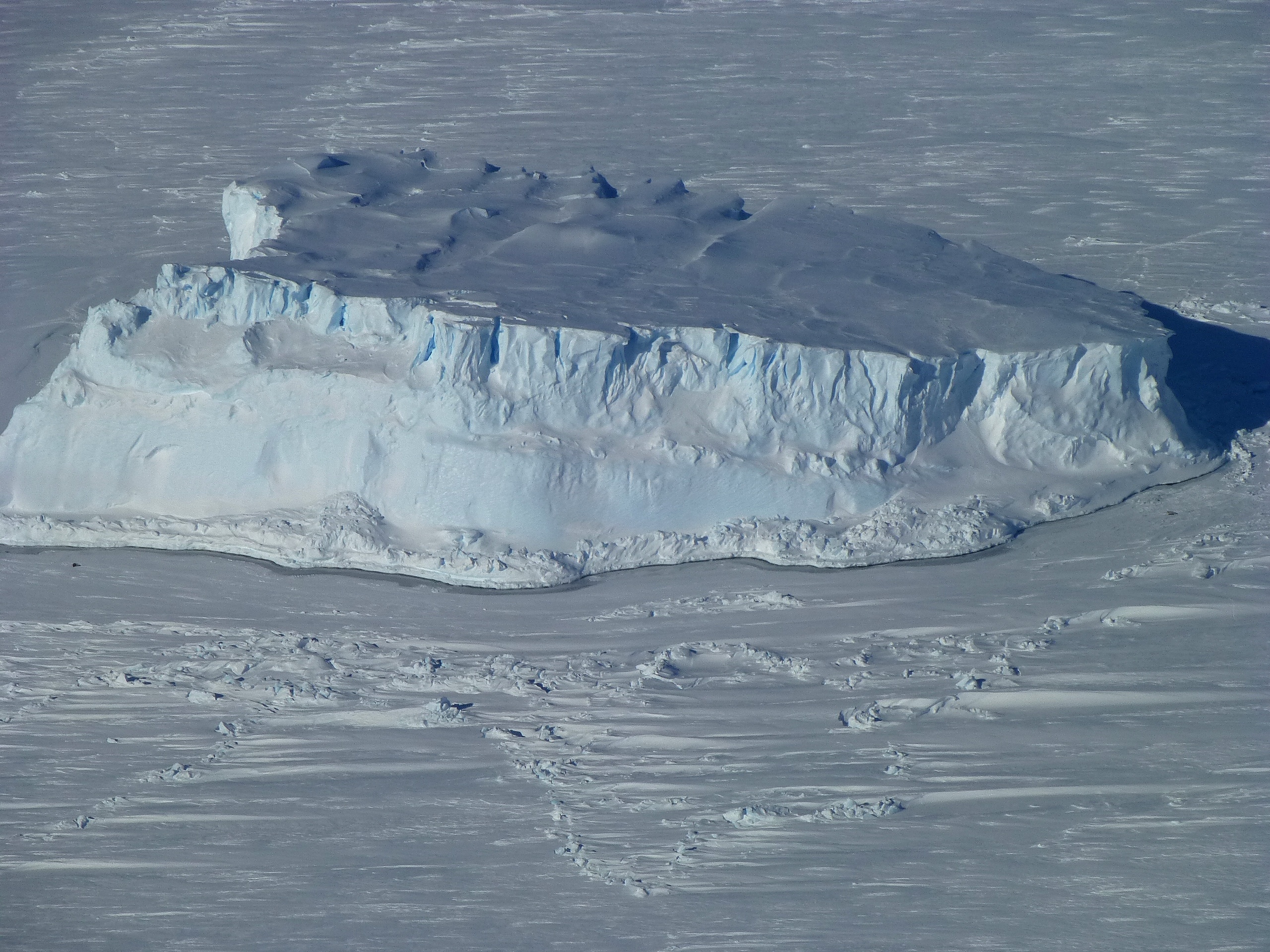
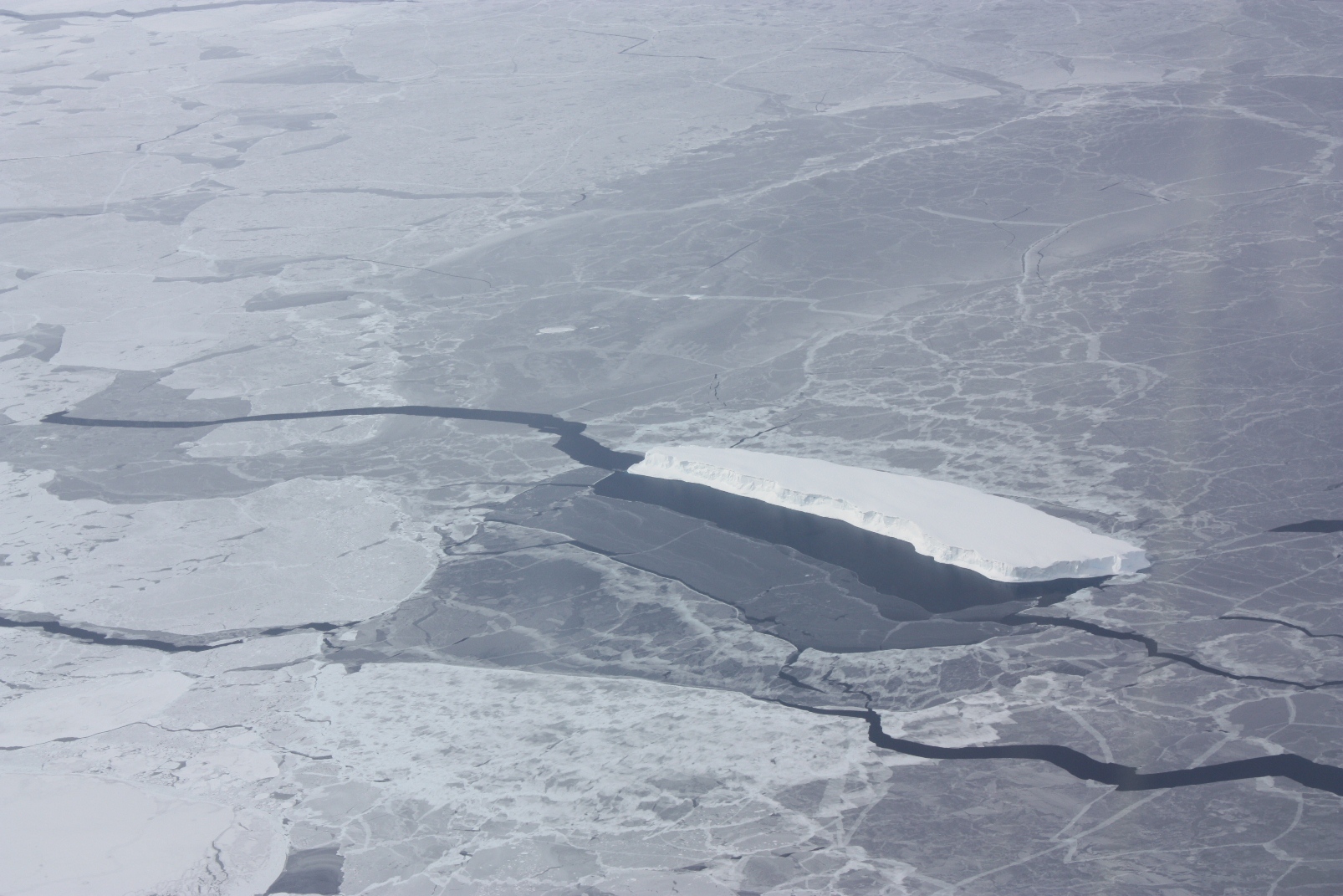
An iceberg trapped in sea ice in the Amundsen Sea, seen from the IceBridge DC-8 during the Getz 07 mission on Oct. 27. Credit: NASA / Maria-Jose Vinas

NASA’s Operation IceBridge flew two more surveys on Oct. 25 and 27 that gathered more information on changes in ice surface elevation and took a look below the ice to measure water depth and bedrock topography. In addition, on the Oct. 25 flight, IceBridge was joined by two guests, the U.S. Ambassador to Chile, Alejandro Wolff, and his Secretary for Economic Affairs, Josanda Jinnette.

(more…)

Two Perfect Days for IceBridge

Friday, October 26th, 2012

Ellsworth Mountains in Antarctica seen from NASA's DC-8. Credit: NASA/Michael Studinger

After two no-fly days for aircraft maintenance and weather, IceBridge surveyed the Ronne Ice Shelf grounding line and took high-altitude measurements of four glaciers in West Antarctica. These missions gathered critical ice elevation and thickness data and gave those on the DC-8 spectacular views such as the Ellsworth Mountains—home of Antarctica’s highest point, Vinson Massif (16,067 feet)—and the rift in the Pine Island Glacier that was discovered during last year’s Antarctic campaign.

(more…)

Return to Recovery Glacier and a Second Look at the Bellingshausen Sea

Tuesday, October 23rd, 2012

An iceberg embedded in sea ice in the Bellingshausen Sea, seen from the IceBridge DC-8 on Oct. 19. Credit: NASA / George Hale

After two more successful surveys and a no-fly day for routine aircraft maintenance, NASA’s IceBridge team was looking forward to getting back to the work of mapping land and sea ice in the Antarctic. In the evening before every flight, mission planners decide on several options for the next day. This takes into account changes in the Antarctic weather that seem to happen with little notice. In this case, clouds over the Weddell Sea meant selecting high priority missions to survey sea ice in the Bellingshausen Sea and map ice streams in Recovery Glacier.

(more…)

Foundation Ice Stream Survey

Friday, October 19th, 2012

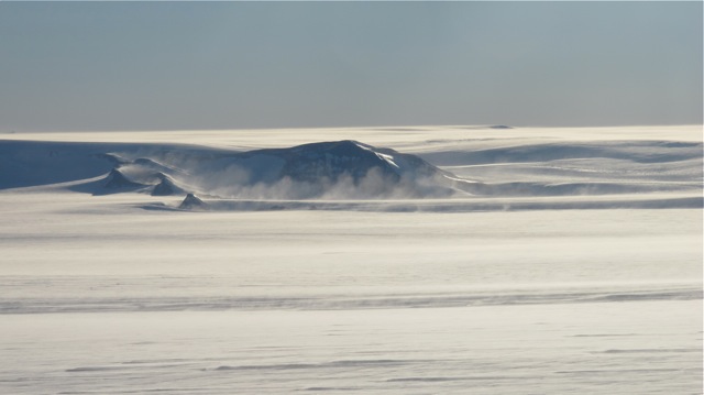
Looking like ocean waves is windblown snow coming off the Pensacola Mountains in Antarctica, as seen from the IceBridge DC-8 on Oct. 15. Credit: NASA / Jim Yungel
On Oct. 15 NASA’s Operation IceBridge resumed Antarctic survey flights after a down day on Sunday. Over the next two days, IceBridge scientists carried out two more high priority land-ice flights, one over the Foundation Ice Stream and one over Thwaites Glacier. As earlier, plans to survey sea ice were put on temporary hold due to unfavorable weather conditions in the region.

(more…)

One By Land and One By Sea

Tuesday, October 16th, 2012

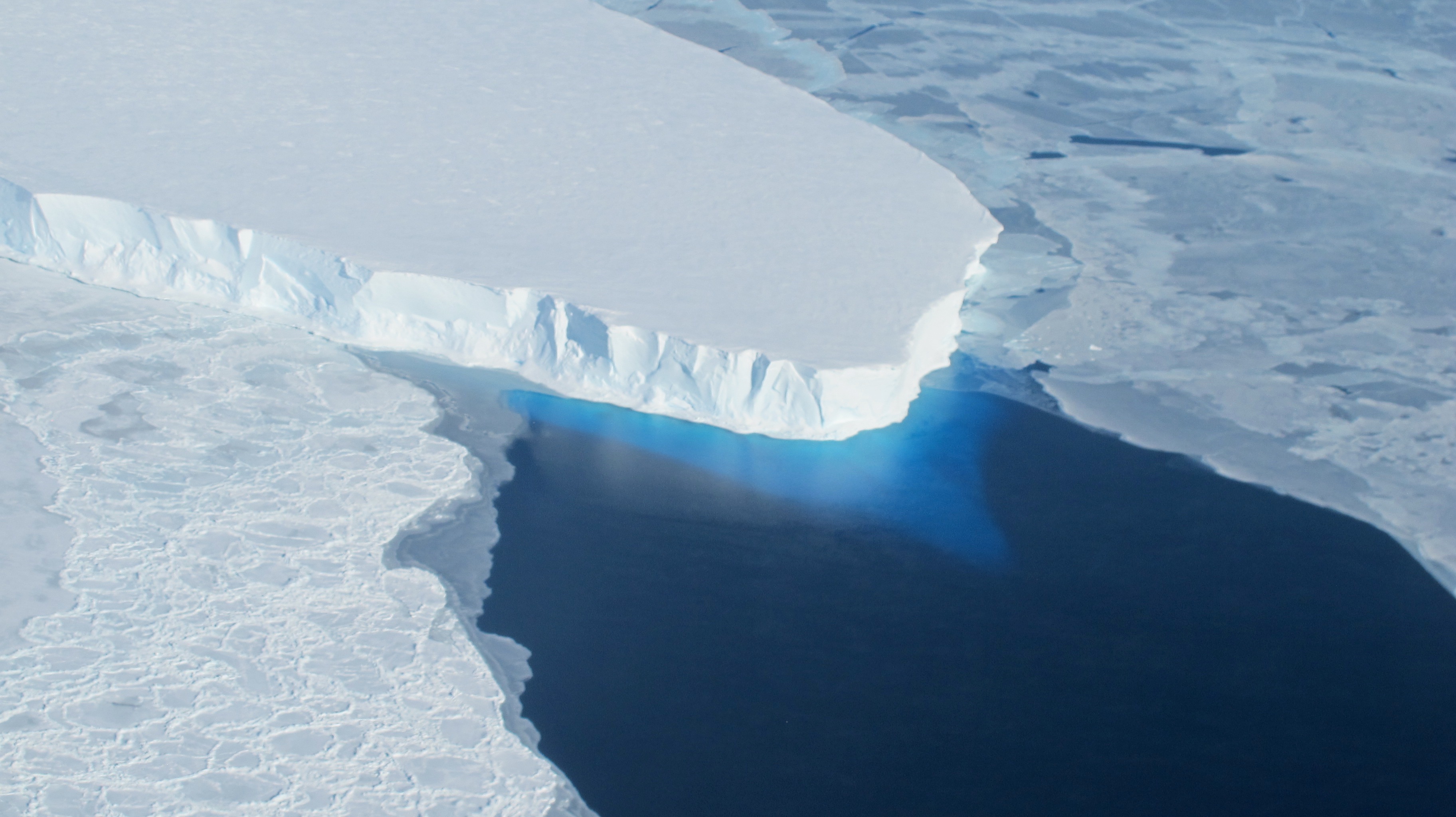
The calving front of Thwaites Ice Shelf looking at the ice below the water's surface. Note how the water acts as a blue filter. Credit: NASA / Jim Yungel

NASA’s Operation IceBridge got the 2012 Antarctic campaign off to a productive start with a land ice survey of Thwaites Glacier and a sea ice flight over parts of the Bellingshausen Sea. During the first few weeks of a campaign, IceBridge typically concentrates on sea ice before it begins to melt as spring temperatures rise, but as often happens in the field, the weather had other ideas.

(more…)

Antarctic Flights Resume

Friday, October 12th, 2012

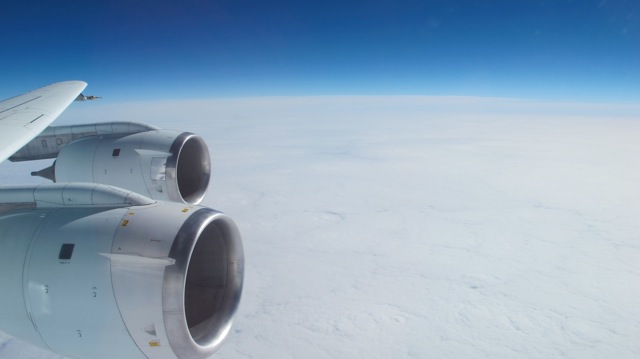
NASA's DC-8 over the Pacific during transit to Chile. (Credit: NASA/Jim Yungel)

Scientists and flight crew members with Operation IceBridge, NASA’s airborne mission to study Earth’s changing polar ice, are beginning another campaign over Antarctica. Now in its fourth year, IceBridge’s return to the Antarctic comes almost a year after the discovery of a large rift in the continent’s Pine Island Glacier.

Read more at NASA.gov