


Flight Planning Tool
***Note: This is a legacy tool – Data has not been updated since the 2016 Arctic Spring campaign.
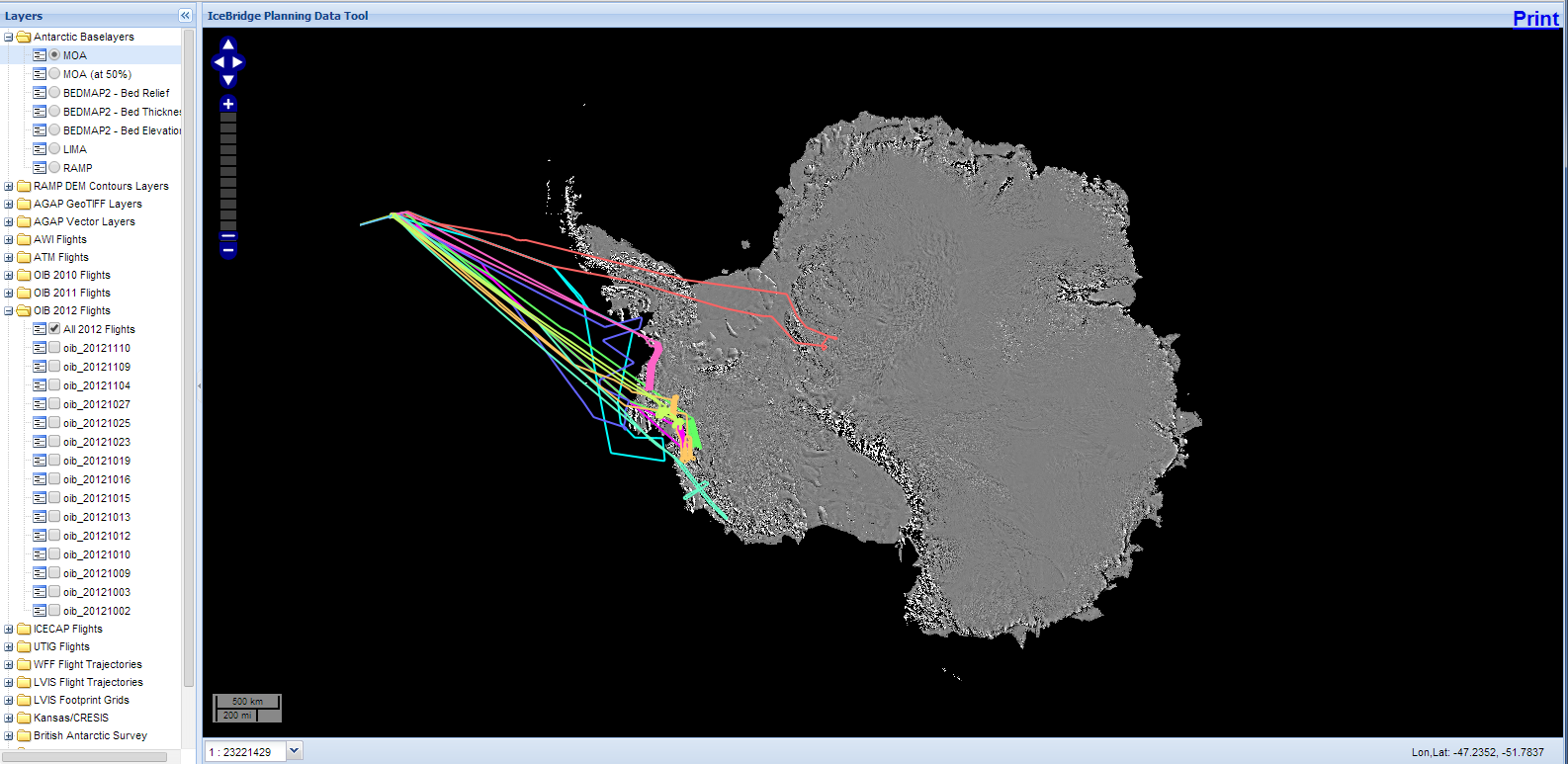
Screenshot from the IceBridge flight planning tool
The IceBridge Science Team meets twice per year and in telecons to plan and prioritize flight plans in accordance with the Level 1 Science Requirements of the mission. In order to help planning an IceBridge flight planning tool has been developed. The tool is a repository of data and images that can be plotted over existing IceBridge data coverage. The goal is to provide a place for quickly putting up flight plans or pre-publication data which might be useful for any of the IceBridge teams with the hope of fostering cooperation and avoiding duplication of effort in data acquisition. The tool shows existing flight lines and various geophysical data sets. It is divided in an Arctic and Antarctic browser and is publicly accessible at: