Digital Mapping System (DMS)
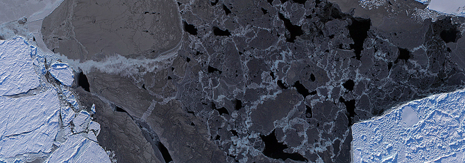
The Digital Mapping System (DMS) is an airborne digital camera system that captures images of terrain below low and medium altitude aircraft and creates mosaics of those images. The primary use of DMS data within Operation IceBridge is to detect leads of open water in sea ice.
The DMS instrument is maintained and operated by the Airborne Sensor Facility (ASF) located at the NASA Ames Research Center in Mountain View, California, under the oversight of the EOS Project Science Office at NASA Goddard.