


Accumulation Radar
(NASA P-3B)
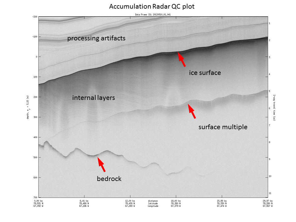
The accumulation radar system, also operated by CReSIS, provides a high-resolution profile of the top of the ice. By looking at this top layer, the accumulation radar allows IceBridge scientists to map variations in annual snow accumulation rates.
More about Accumulation Radar
Accumulation Radar data at NSIDC