


Airborne Topographic Mapper (ATM)
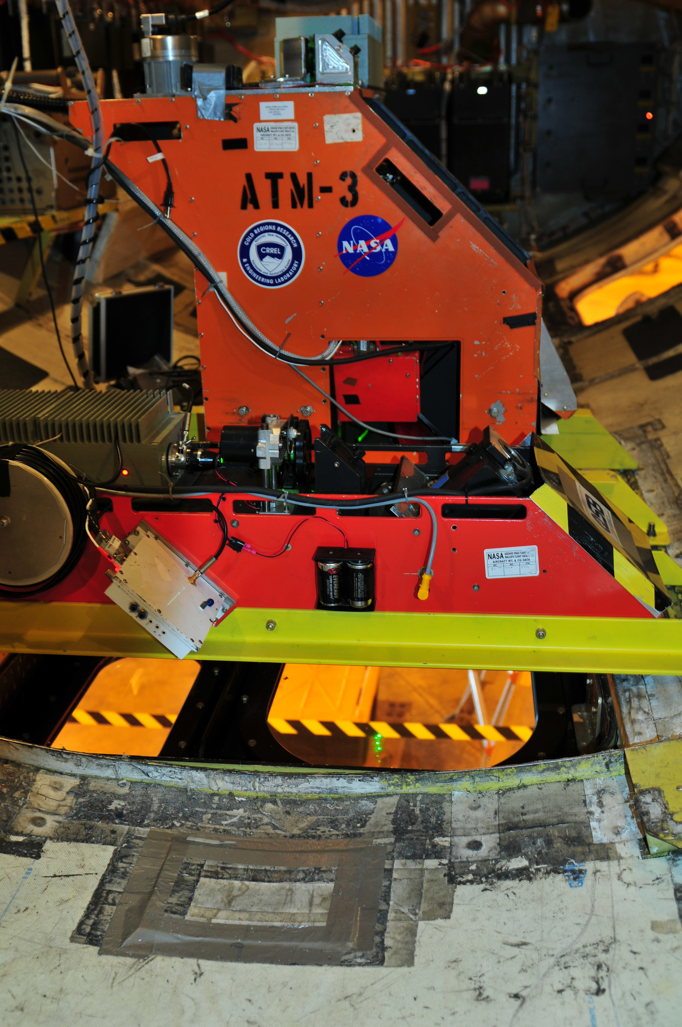
The Airborne Topographic Mapper (ATM), developed at NASA Wallops Flight Facility in Wallops Island, Va., is a scanning laser altimeter that measures changes in ice surface elevation. It accomplishes this by reflecting lasers off the ice surface and measuring the time it takes light to return to the aircraft, usually flying between 1000 and 2000 feet above the ground. By combining this timing data with detailed information about the aircraft’s position and attitude from GPS and inertial navigation systems, ATM can measure topography to an accuracy of as small as four inches. By flying ATM over the same swath of ground previously covered by ICESat, researchers can maintain a record of changes.
In addition, the precise data from ATM’s navigation system can be fed to pilot displays in the cockpit or even electronically sent to the automatic pilot system, keeping the aircraft aligned with the planned survey track. This keeps the aircraft along the planned ATM survey swath and also benefits the other IceBridge instruments by minimizing aircraft roll and horizontal acceleration.
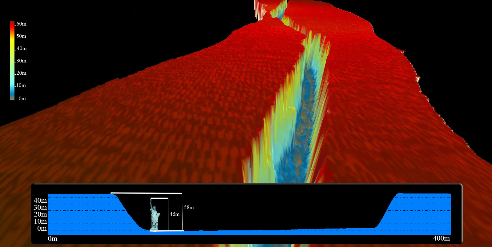
Three-dimensional representation of ATM data on rift in Antarctica’s Pine Island Glacier