Snow Radar
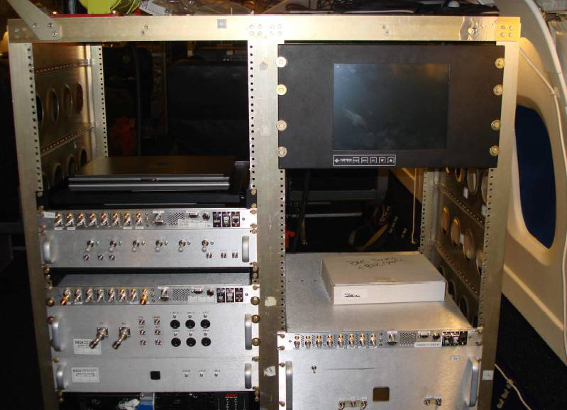 (NASA P-3B and DC-8)
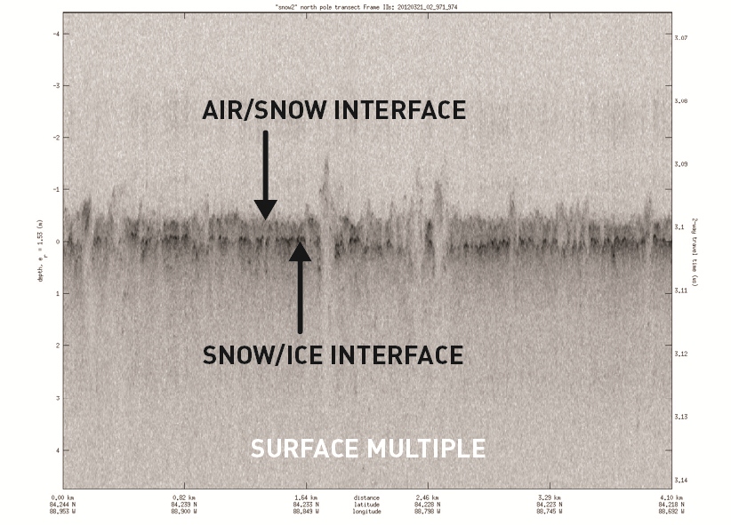
Another of the radar systems used in Operation IceBridge is CReSIS’s snow radar. This instrument measures the thickness of snow on top of sea ice, which allows researchers to make more accurate sea ice thickness measurements. Scientists can measure sea ice freeboard, or the amount above the water’s surface, and using the known ratio of ice above and below water to calculate thickness. Snow accumulation can give higher freeboard figures, skewing these results, so knowing snow accumulation is important for measuring sea ice thickness.