


After two more successful surveys and a no-fly day for routine aircraft maintenance, NASA’s IceBridge team was looking forward to getting back to the work of mapping land and sea ice in the Antarctic. In the evening before every flight, mission planners decide on several options for the next day. This takes into account changes in the Antarctic weather that seem to happen with little notice. In this case, clouds over the Weddell Sea meant selecting high priority missions to survey sea ice in the Bellingshausen Sea and map ice streams in Recovery Glacier.
Recovery Glacier is a part of Antarctica that has rarely been surveyed from the air due to its remote location. It was only about 10 years ago that researchers using RADARSAT data discovered just how far inland the tributaries in Recovery Glacier went. This marks the second time that IceBridge has surveyed this area, and its initial flights over the ice streams a year ago met with enthusiasm. “It was applauded by the community because everyone was so desperate to get the data,” said IceBridge project scientist Michael Studinger. The data gathered last year has already been included in a new compilation of the bedrock below the Antarctic ice sheet called Bedmap.
Even though the East Antarctic Ice Sheet is considered relatively stable compared to the more dynamic West Antarctic, information about changes to the ice sheet’s mass balance is crucial. Because it is such a significant ice stream, data on Recover Glacier is helpful in that regard. To predict how ice will flow takes information about both ice velocity and the shape and depth of channels the ice is flowing through, something that IceBridge is able to gather with its depth sounding radar, MCoRDS.
On Oct. 19, forecast models showed favorable weather over the Bellingshausen Sea though with a large system moving from the Amundsen Sea in the Bellingshausen later in the day. This was the second of two planned flights in the Bellingshausen Sea. After the transit flight from Punta Arenas, the DC-8 descended to start its survey of sea ice and found dense cloud cover all the way down to the surface. The weather system had moved faster than forecasts predicted. “The Bellingshausen Sea is a challenging area in terms of good weather and reliable forecasts,” said Studinger.
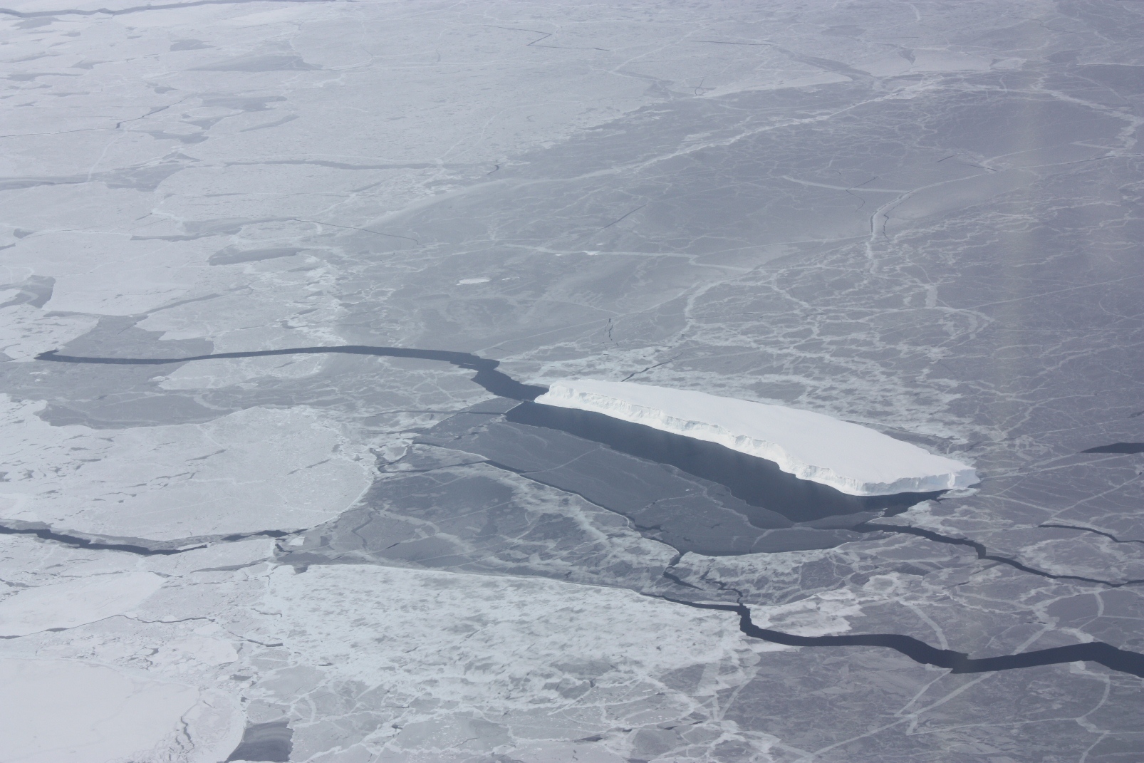
After a short while, however, the DC-8 got past the clouds and fog and researchers were able to begin collecting data. Sea ice data in the Antarctic is something that is in short supply, with more attention being paid to ice in the Arctic Basin. “Sea ice is very dynamic and any information we can get on ice in the Antarctic, especially thickness, is significant,” said sea ice scientist Nathan Kurtz of NASA’s Goddard Space Flight Center. “Thickness in the Bellingshausen has increased slightly while area has decreased. We’re looking at why that is.”
The Friday Bellingshausen Sea flight marked the end of a successful week of data gathering. In addition to the full-time job of measuring land and sea ice, members of the IceBridge team took time to do a little educational outreach by using the DC-8’s satellite uplink to do live online chats with teachers in students around the United States, reaching 15 classrooms and more than 225 students.